The output of solar energy systems is highly dependent on cloud cover. While weather forecasting can be used to predict the amount of sunlight reaching ground-based solar collectors, cloud cover is often characterized in simple terms, such as cloudy, partly cloudy or clear. This does not provide accurate information for estimating the amount of sunlight available for solar power plants.
In this week’s Journal of Renewable and Sustainable Energy, a new method is reported for estimating cloud optical properties using data from recently launched satellites. This new technique is known as Spectral Cloud Optical Property Estimation, or SCOPE.
In 2016, NASA began launching a new generation of Geostationary Operational Environmental Satellites, the GOES-R series. These satellites occupy fixed positions above the Earth’s surface. Each is equipped with several sophisticated instruments, including the Advanced Baseline Imager, or ABI, which can detect radiation upwelling from the Earth at specific wavelengths.
The SCOPE method estimates three properties of clouds that determine the amount of sunlight reaching the Earth’s surface. The first, cloud top height, is the altitude corresponding to the top of each cloud. The second, cloud thickness, is simply the difference in altitude between a cloud’s top and bottom. The third property is the cloud optical depth, a measure of how a cloud modifies light passing through it.
Clouds are, essentially, floating masses of condensed water. The water takes multiple forms as liquid droplets or ice crystals of varying sizes. These different forms of water absorb light in different amounts, affecting a cloud’s optical depth.
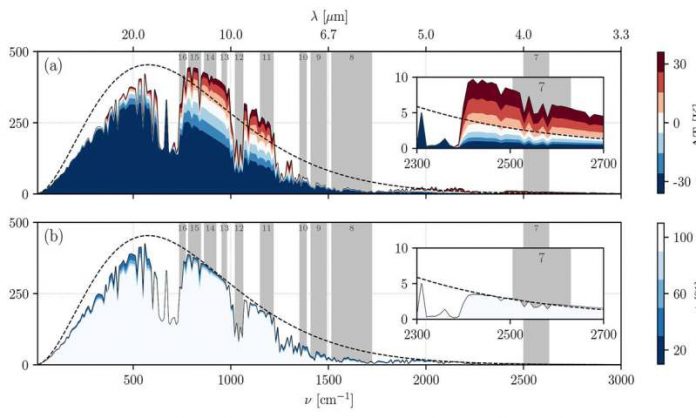
The amount of light absorbed also depends on the light’s wavelength. Absorption is especially variable for light in the wider infrared range of the spectrum but not so much for light in the narrower visible range.
The SCOPE method simultaneously estimates cloud thickness, top height and optical depth by coupling ABI sensor data from GOES-R satellites to an atmospheric model. Two other inputs to the model come from ground-based weather stations: ambient temperature and relative humidity at the ground. These are used to adjust temperature and gas concentration vertical profiles in the model.
The accuracy of the estimated cloud optical properties was evaluated using one year of data from 2018 for measurements taken at seven ground-based locations in the U.S. during both night and day, in all sorts of weather, and for a wide spatial coverage at 5-minute intervals.
“SCOPE can be used during both day and night with reliable accuracy,” said co-author Carlos F.M. Coimbra. “Due to its high-frequency output during daytime, SCOPE is especially suitable for providing accurate real-time estimates of cloud optical properties for solar forecasting applications.”


